Press
Press & media kit
It’s a Trail Day is a live-data trail-conditions site for the mid-Atlantic — Maryland, Virginia, DC, Delaware, and West Virginia. Independent, utility-focused, no ad networks, no affiliate links, no tracking. Free to link, cite, screenshot, or embed. If you’re writing about hiking, weekend trips, fall foliage, trail closures, weather impact on the outdoors, or honest alternatives to AllTrails — this is for you.
The one-paragraph pitch
Every curated public trail across MD/VA/DC/DE/WV — ranked by today’s live conditions. The Trail Day Score combines weather (NWS forecasts and alerts), recent precipitation (mud score), air quality (AirNow), tick risk, daylight, and active park closures (NPS Data API + state DNR feeds) into a single 0–100 score per activity per trail. Hikers, trail runners, mountain bikers, and dog walkers each get their own ranking because each cares about different conditions. Updated every two hours. The closure aggregator alone is worth a look — it pulls every active NPS alert and state-DNR advisory across the whole region into a clean, readable list, which neither the agencies nor the big route apps bother to do.
Angles that might interest your readers
- Skip the Old Rag traffic. Shenandoah’s most famous summit is also its most painful parking experience. We rank quieter alternatives across the same park — Stony Man, Hawksbill, White Oak Canyon — against today’s actual conditions.
- Mud after rain. Most route apps don’t tell you that Patapsco singletrack is a swamp 36 hours after a storm. Our mud score does — and it’s why mountain bikers, trail runners, and casual hikers rank differently on the same trail.
- The C&O Canal as a trail. 184 miles of crushed-limestone towpath from DC to Cumberland, mostly invisible to AllTrails because it’s a linear route, not a loop. We cover it section by section.
- The GAP/C&O junction at Cumberland. The Cumberland hub — northern terminus of the GAP, eastern terminus of the C&O — is where 335 miles of car-free trail meet. Underrated travel story.
- Live park closures. Our advisories page aggregates NPS alerts and state-DNR feeds into one view. Great for “is the trail actually open?” stories.
- Tick season is real. May–October on every wooded mid-Atlantic trail. We surface the regional risk on each trail page.
- Honest scoring. No paid placement, no affiliate links, no “sponsored top picks.” The reason this site exists is that the alternatives sold their integrity to ads.
Sample share cards
Every trail page has a 1200×630 share card auto-generated at build time, suitable for X, Facebook, iMessage, Slack, or direct embed:
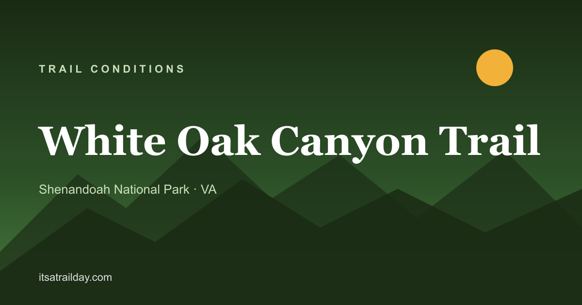
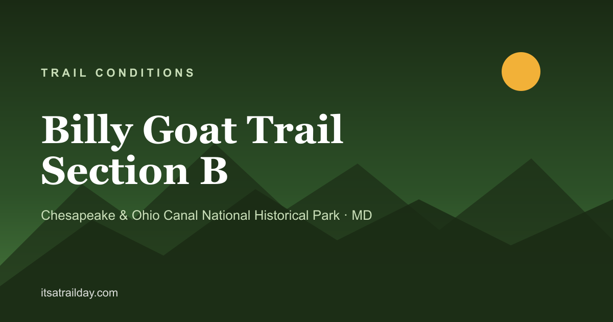

Direct image URLs (1200×630 PNG): https://itsatrailday.com/og/trails/{slug}.png for any trail; /og/parks/{slug}.png for any park.
Data sources (for credit/context)
- National Weather Service API — forecasts, current conditions, alerts
- AirNow — air quality (EPA / state agencies)
- National Park Service Data API — NPS-unit alerts and closures
- State DNR feeds — Maryland DNR, Virginia DCR, Delaware State Parks (RSS / public alert endpoints)
- OpenStreetMap — trail geometry, surface tags
Full source list: /data-sources/. Methodology: /methodology/.
Usage
You may:
- Link to any page or share card
- Screenshot or embed share cards in articles, tweets, broadcast graphics
- Cite the site as It’s a Trail Day (itsatrailday.com)
- Reach out for custom data feeds, co-branded widgets, or feature requests
Contact
hello@itsatrailday.com
Happy to provide quotes, background, or a trail-of-the-day feed for your outlet.